-
Faculty of Arts and HumanitiesDean's Office, Faculty of Arts and HumanitiesJakobi 2 ruumid 116–121, 51005 Tartu linn, EST0Institute of History and ArchaeologyJakobi 2 51005 Tartu linn, Tartu linn, Tartumaa EST0Institute of Estonian and General LinguisticsJakobi 2, IV korrus 51005 Tartu linn, Tartu linn, Tartumaa EST0Institute of Philosophy and SemioticsJakobi 2, III korrus, ruumid 302-337 51005 Tartu linn, Tartu linn, Tartumaa EST0Institute of Cultural ResearchÜlikooli 16 51003 Tartu linn, Tartu linn, Tartumaa EST0Institute of Foreign Languages and CulturesLossi 3 51003 Tartu linn, Tartu linn, Tartumaa EST0School of Theology and Religious StudiesÜlikooli 18 50090 Tartu linn, Tartu linn, Tartumaa EST0Viljandi Culture AcademyPosti 1 71004 Viljandi linn, Viljandimaa EST0Professors emeriti, Faculty of Arts and Humanities0Associate Professors emeriti, Faculty of Arts and Humanities0Faculty of Social SciencesDean's Office, Faculty of Social SciencesLossi 36 51003 Tartu linn, Tartu linn, Tartumaa EST0Institute of EducationJakobi 5 51005 Tartu linn, Tartu linn, Tartumaa EST0Johan Skytte Institute of Political StudiesLossi 36, ruum 301 51003 Tartu linn, Tartu linn, Tartumaa EST0School of Economics and Business AdministrationNarva mnt 18 51009 Tartu linn, Tartu linn, Tartumaa EST0Institute of PsychologyNäituse 2 50409 Tartu linn, Tartu linn, Tartumaa EST0School of LawNäituse 20 - 324 50409 Tartu linn, Tartu linn, Tartumaa EST0Institute of Social StudiesLossi 36 51003 Tartu linn, Tartu linn, Tartumaa EST0Narva CollegeRaekoja plats 2 20307 Narva linn, Ida-Virumaa EST0Pärnu CollegeRingi 35 80012 Pärnu linn, Pärnu linn, Pärnumaa EST0Professors emeriti, Faculty of Social Sciences0Associate Professors emeriti, Faculty of Social Sciences0Faculty of MedicineDean's Office, Faculty of MedicineRavila 19 50411 Tartu linn, Tartu linn, Tartumaa ESTInstitute of Biomedicine and Translational MedicineBiomeedikum, Ravila 19 50411 Tartu linn, Tartu linn, Tartumaa ESTInstitute of PharmacyNooruse 1 50411 Tartu linn, Tartu linn, Tartumaa ESTInstitute of DentistryL. Puusepa 1a 50406 Tartu linn, Tartu linn, Tartumaa ESTInstitute of Clinical MedicineL. Puusepa 8 50406 Tartu linn, Tartu linn, Tartumaa ESTInstitute of Family Medicine and Public HealthRavila 19 50411 Tartu linn, Tartu linn, Tartumaa ESTInstitute of Sport Sciences and PhysiotherapyUjula 4 51008 Tartu linn, Tartu linn, Tartumaa ESTProfessors emeriti, Faculty of Medicine0Associate Professors emeriti, Faculty of Medicine0Faculty of Science and TechnologyDean's Office, Faculty of Science and TechnologyVanemuise 46 - 208 51003 Tartu linn, Tartu linn, Tartumaa ESTInstitute of Computer ScienceNarva mnt 18 51009 Tartu linn, Tartu linn, Tartumaa ESTInstitute of GenomicsRiia 23b/2 51010 Tartu linn, Tartu linn, Tartumaa ESTEstonian Marine Institute0Institute of PhysicsInstitute of ChemistryRavila 14a 50411 Tartu linn, Tartu linn, Tartumaa EST0Institute of Mathematics and StatisticsNarva mnt 18 51009 Tartu linn, Tartu linn, Tartumaa EST0Institute of Molecular and Cell BiologyRiia 23, 23b - 134 51010 Tartu linn, Tartu linn, Tartumaa ESTTartu ObservatoryObservatooriumi 1 61602 Tõravere alevik, Nõo vald, Tartumaa EST0Institute of TechnologyNooruse 1 50411 Tartu linn, Tartu linn, Tartumaa ESTInstitute of Ecology and Earth SciencesJ. Liivi tn 2 50409 Tartu linn, Tartu linn, Tartumaa ESTProfessors emeriti, Faculty of Science and Technology0Associate Professors emeriti, Faculty of Science and Technology0Institute of BioengineeringArea of Academic SecretaryHuman Resources OfficeUppsala 6, Lossi 36 51003 Tartu linn, Tartu linn, Tartumaa EST0Area of Head of FinanceFinance Office0Area of Director of AdministrationInformation Technology Office0Administrative OfficeÜlikooli 17 (III korrus) 51005 Tartu linn, Tartu linn, Tartumaa EST0Estates Office0Marketing and Communication OfficeÜlikooli 18, ruumid 102, 104, 209, 210 50090 Tartu linn, Tartu linn, Tartumaa EST0Area of RectorRector's Strategy OfficeInternal Audit OfficeArea of Vice Rector for Academic AffairsOffice of Academic AffairsUniversity of Tartu Youth AcademyUppsala 10 51003 Tartu linn, Tartu linn, Tartumaa EST0Student Union OfficeÜlikooli 18b 51005 Tartu linn, Tartu linn, Tartumaa EST0Centre for Learning and TeachingArea of Vice Rector for ResearchUniversity of Tartu LibraryW. Struve 1 50091 Tartu linn, Tartu linn, Tartumaa EST0Grant OfficeArea of Vice Rector for DevelopmentCentre for Entrepreneurship and InnovationNarva mnt 18 51009 Tartu linn, Tartu linn, Tartumaa EST0University of Tartu Natural History Museum and Botanical GardenVanemuise 46 51003 Tartu linn, Tartu linn, Tartumaa EST0International Cooperation and Protocol Office0University of Tartu MuseumLossi 25 51003 Tartu linn, Tartu linn, Tartumaa EST0
Innovative satellite remote sensing method enables more accurate forest ecosystem models

To evaluate the development of a forest’s ecosystem, forest floor vegetation needs to be monitored consistently. Currently, this kind of data is missing. In the beginning of the year, Jan Pisek, an associate professor with the University of Tartu, Tartu Observatory, published an article in the scientific journal Biogeosciences with his colleagues. The researchers successfully combined past efforts of measuring forest floor parameters with multi-angle satellite remote sensing.
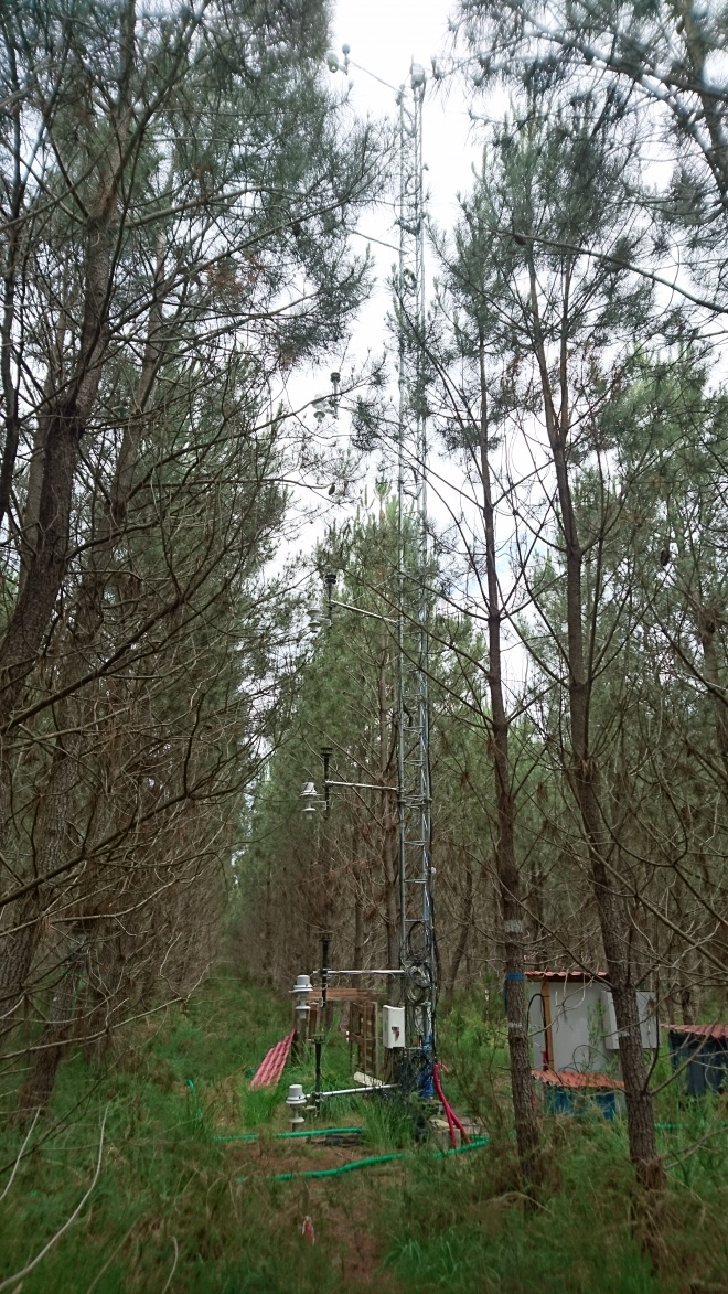
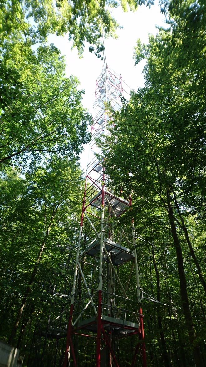
To validate satellite measurements, Pisek and colleagues used data provided by the new ICOS (Integrated Carbon Observation System) research infrastructure (RI), also proving that the usefulness of ICOS RI goes beyond its designated tasks of measuring carbon exchange and greenhouse gases in the environment.
Forest floor vegetation often excluded from carbon models
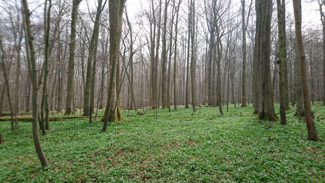
The plants growing on the forest floor are one of the most diverse and least understood components of forests worldwide. These plant communities are especially important because they assist in the cycling of nutrients and can influence what happens to the trees and the canopy above. Measuring the appearance of the forest floor (understory), or its reflectance, over time and different locations is important to accurately estimate the parameters of forest canopy, and therefore for ecosystem modelling. However, this reflectance data from different types of forests is currently missing.
Currently, carbon models often treat the forest floor vegetation as an unknown due to the difficulties in measuring it properly and consistently on a larger scale. Remote sensing could be the technology to provide consistent data in this area. Multi-angle satellite-based remote sensing can capture signals of different forest layers because the observed proportions vary with the viewing angle, making it possible to separate the signals from forest canopy and forest floor.
New approach and promising results
The aim of the study published by Pisek and colleagues was to combine past efforts of tracking forest floor reflectance and its dynamics with multi-angle satellite remote sensing. The approach, originally developed over the Canadian boreal forests within the research group of prof. Jing Ming Chen at the University of Toronto, was validated against in situ understory reflectance measurements over an extended set of ICOS forest ecosystem sites.
The main findings show that the novel modelling method can deliver good results, especially over different forest types with open canopies. The performance of the method was found limited over forests with closed canopies (high foliage cover), where the signal from understory gets hidden. This actually makes sense – the modelling algorithm relies on the condition that at least a small part of the forest floor is seen from different directions through the overstory canopy. If the tree cover is dense and the forest floor cannot be seen from above, the algorithm cannot provide the correct, independent estimation of the understory signal. “I would be actually really concerned if we were still retrieving ‘correct’ understory signal under these conditions of too dense tree cover. The fact that the algorithm indeed fails when it is supposed to fail, helps me to have more confidence in its performance,” Pisek says.
Using ICOS forest ecosystem sites to validate estimations from remote sensing satellites
To validate satellite measurements, Pisek and colleagues used the data from different sites of the ICOS research infrastructure. The mission of ICOS RI is to enable research to understand the greenhouse gas budgets and perturbations in Europe and adjacent regions. ICOS is based on the collection of high-quality observational data by measurement stations operated long-term (15+ years) as national networks in the RI member states.
Estonia currently has a pending membership status with ICOS. Through collaborations carried within the framework of this project, Pisek and colleagues demonstrated commitment and showcased an innovative way how Estonia-based research can make an impact on the ICOS infrastructure and efficiently use it already now. The researchers showed that ICOS forest ecosystem sites can serve as network for validation of pixel resolution Earth observation products.
“The ICOS RI provided an excellent tool for truly comprehensive and efficient validation exercise thanks to the wide variety of forests types represented in the network,” Jan Pisek says.
For the first time, the study also provides comprehensive spatial representativeness assessment of the included ICOS sites across different spatial scales. “We were happy to see that most of the included ICOS forest ecosystem sites are indeed representative and suitable for validation of Earth observation products across different scales,” adds Pisek. Identifying ways how to properly scale and compare the in situ ground-based measurements with satellite measurements is one of the objectives of the SENSECO project, in which Pisek participates.
Jan Pisek acknowledges support by the Eesti Teadusagentuur (grant nos. PUT1355 and Mobilitas Pluss MOBERC11).
Also read the news story by ICOS.
Read more similar news


