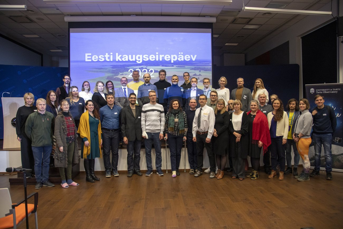
Eesti kaugseirepäev Tartu observatooriumis -Tartu Ülikool
Author:
Marja-Liisa Plats

With these words in his closing speech, Urmas Peterson, the main organizer of the Estonian Remote Sensing Day, characterized the 50-year timeline of satellite images of the Landsat satellite as a fairy tale.
It has become a good practice for the remote sensing community to meet every two years at the Tartu Observatory and celebrate Estonian Remote Sensing Day. This time the meeting took place already for the sixth time. The presenters gave an overview of the latest developments in science and applications in Estonian remote sensing and discussed its future. Several presenters were looking for ways to tailor global remote sensing data to suit Estonian needs. It was found that, in addition to technical means, the analysis stage still requires one of the best remote sensing application - human eyes and brain. A major technological and scientific leap is needed to narrow the uncertainties in remote sensing.
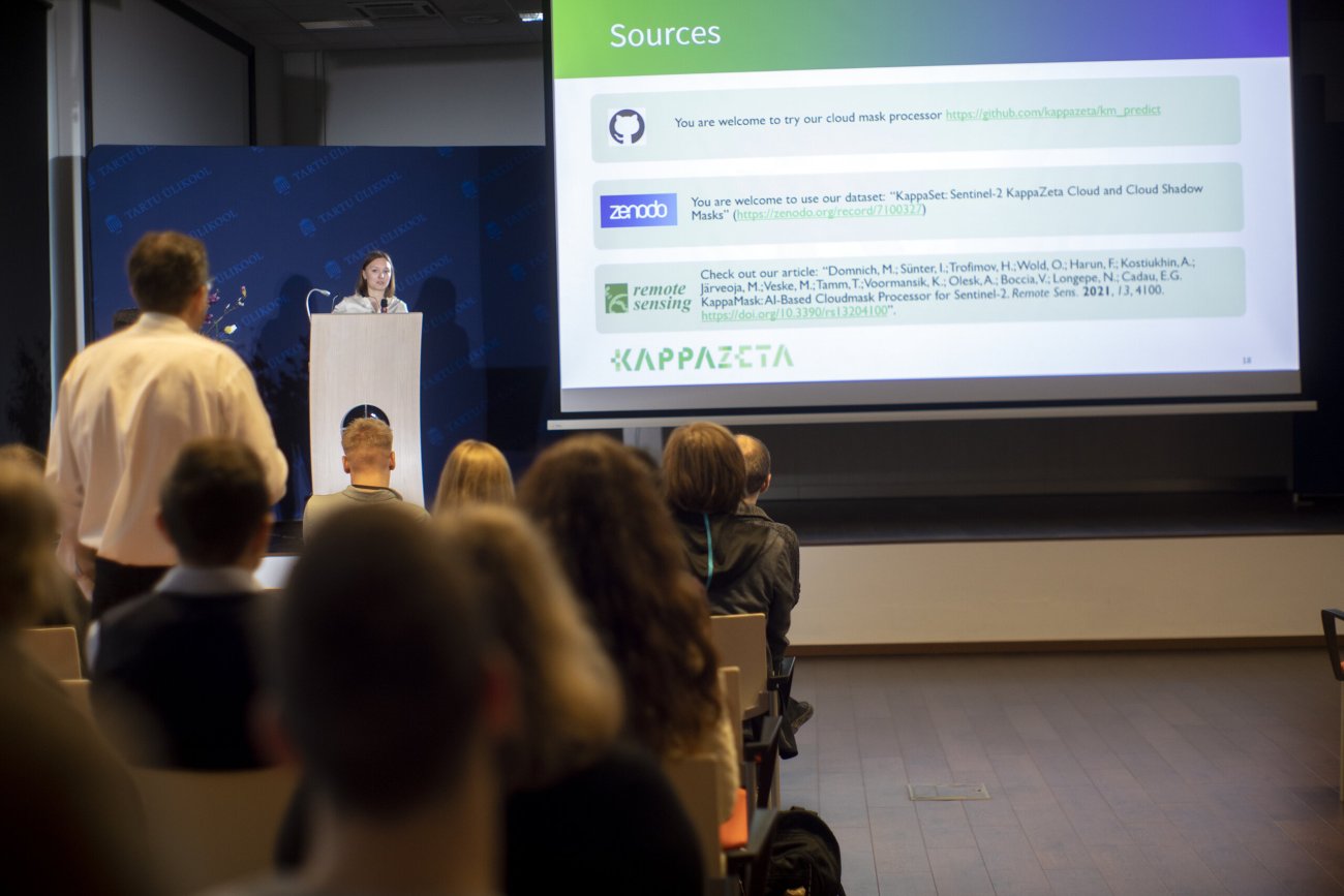
Sometimes, when a person sees a satellite image for the first time, it differs from the optical image a lot, and it is not entirely clear to this person what to do with it. The solution to this is to use modified data ready for analysis. KappaZeta also invited to use their new cloud mask, the best among free cloud masks. The remote monitoring web interface prototype for Estonian lakes is ready to use. The cooling effect of aerosols and climate projections were discussed in terms of remote monitoring applications.
A lively discussion at the poster session, attended by a record number of students this year, showed a strong addition to the remote sensing community.
You can watch the presentations of the Estonian Remote Sensing Day 2022 on UTTV.
The presentations on the Remote Sensing Day will be published in the electronic article collection "Remote Sensing in Estonia 2022". See previous collections of articles in Estonian here. Each article has a summary in English.

01.10.2024